All African Countries: Complete List with Capitals and Flags
Discover all 54 African countries organized by region with their capitals, flags and populations. Interactive quiz included!
How many countries are in Africa?
Africa has 54 sovereign countries recognized by the United Nations, spread across 30.37 million km² with over 1.5 billion people — roughly 18% of the world's population.
From the Sahara to equatorial rainforests, from Mediterranean shores to Indian Ocean beaches, Africa offers extraordinary geographic, cultural and linguistic diversity. Over 2,000 languages are spoken across the continent, which is home to the world's longest river (the Nile) and largest hot desert (the Sahara).
Ready to test your knowledge? After exploring this list, try our Listing quiz to name all African countries or our African flag quiz!
Alphabetical list of the 54 countries in Africa
If you want the quickest possible answer, here is the full list of African countries covered in this guide. We follow the scope of the 54 sovereign states recognized by the United Nations.
Algeria, Angola, Benin, Botswana, Burkina Faso, Burundi, Cameroon, Cape Verde, Central African Republic, Chad, Comoros, Congo, Cote d'Ivoire, Democratic Republic of the Congo, Djibouti, Egypt, Equatorial Guinea, Eritrea, Eswatini, Ethiopia, Gabon, Gambia, Ghana, Guinea, Guinea-Bissau, Kenya, Lesotho, Liberia, Libya, Madagascar, Malawi, Mali, Mauritania, Mauritius, Morocco, Mozambique, Namibia, Niger, Nigeria, Rwanda, Sao Tome and Principe, Senegal, Seychelles, Sierra Leone, Somalia, South Africa, South Sudan, Sudan, Tanzania, Togo, Tunisia, Uganda, Zambia and Zimbabwe.
For a more visual overview, you can also explore our Africa regional page and the full directory of world countries.
What are the countries of Northern Africa?
Northern Africa has 6 countries. Bordered by the Mediterranean Sea to the north and the Sahara to the south, it is a crossroads between Europe, the Middle East and sub-Saharan Africa. The region is characterized by Arab-Berber influence and is home to some of the continent's largest countries.
| Flag | Country | Capital | Population | Area |
|---|---|---|---|---|
| 🇩🇿 | Algeria | Algiers | 47,400,000 | 2,381,741 km2 |
| 🇸🇩 | Sudan | Khartoum | 51,662,000 | 1,886,068 km2 |
| 🇱🇾 | Libya | Tripoli | 7,459,000 | 1,759,540 km2 |
| 🇪🇬 | Egypt | Cairo | 107,271,260 | 1,002,450 km2 |
| 🇲🇦 | Morocco | Rabat | 36,828,330 | 446,550 km2 |
| 🇹🇳 | Tunisia | Tunis | 11,972,169 | 163,610 km2 |
What are the countries of Western Africa?
Western Africa has 16 countries, stretching from Mauritania to Nigeria, encompassing both coastal and Sahelian countries. The region stands out for its great ethnic and cultural diversity, and is home to Nigeria, the most populated country on the continent.
| Flag | Country | Capital | Population | Area |
|---|---|---|---|---|
| 🇳🇪 | Niger | Niamey | 26,312,034 | 1,267,000 km2 |
| 🇲🇱 | Mali | Bamako | 22,395,489 | 1,240,192 km2 |
| 🇲🇷 | Mauritania | Nouakchott | 4,927,532 | 1,030,700 km2 |
| 🇳🇬 | Nigeria | Abuja | 229,152,217 | 923,768 km2 |
| 🇨🇮 | Cote d'Ivoire | Yamoussoukro | 31,719,275 | 322,463 km2 |
| 🇧🇫 | Burkina Faso | Ouagadougou | 24,070,553 | 274,200 km2 |
| 🇬🇳 | Guinea | Conakry | 14,363,931 | 245,857 km2 |
| 🇬🇭 | Ghana | Accra | 33,742,380 | 238,533 km2 |
| 🇸🇳 | Senegal | Dakar | 18,593,258 | 196,722 km2 |
| 🇧🇯 | Benin | Porto-Novo | 13,224,860 | 112,622 km2 |
| 🇱🇷 | Liberia | Monrovia | 5,248,621 | 111,369 km2 |
| 🇸🇱 | Sierra Leone | Freetown | 9,077,691 | 71,740 km2 |
| 🇹🇬 | Togo | Lome | 8,095,498 | 56,785 km2 |
| 🇬🇼 | Guinea-Bissau | Bissau | 1,781,308 | 36,125 km2 |
| 🇬🇲 | Gambia | Banjul | 2,422,712 | 10,689 km2 |
| 🇨🇻 | Cape Verde | Praia | 491,233 | 4,033 km2 |
What are the countries of Central Africa?
Central Africa has 10 countries, dominated by the Congo Basin, the second largest tropical rainforest in the world. The region is home to the Democratic Republic of the Congo, the second largest country in Africa by area.
| Flag | Country | Capital | Population | Area |
|---|---|---|---|---|
| 🇨🇩 | DR Congo | Kinshasa | 112,832,000 | 2,344,858 km2 |
| 🇹🇩 | Chad | N'Djamena | 19,340,757 | 1,284,000 km2 |
| 🇦🇴 | Angola | Luanda | 36,170,961 | 1,246,700 km2 |
| 🇨🇫 | Central African Republic | Bangui | 6,470,307 | 622,984 km2 |
| 🇸🇸 | South Sudan | Juba | 15,786,898 | 619,745 km2 |
| 🇨🇲 | Cameroon | Yaounde | 29,442,327 | 475,442 km2 |
| 🇨🇬 | Congo | Brazzaville | 6,142,180 | 342,000 km2 |
| 🇬🇦 | Gabon | Libreville | 2,469,296 | 267,668 km2 |
| 🇬🇶 | Equatorial Guinea | Malabo | 1,668,768 | 28,051 km2 |
| 🇸🇹 | Sao Tome and Principe | Sao Tome | 209,607 | 964 km2 |
What are the countries of Eastern Africa?
Eastern Africa has 16 countries, stretching from the Horn of Africa to the islands of the Indian Ocean. It is home to Kilimanjaro, Africa's highest peak (5,895 m), and the Great Rift Valley, the cradle of humanity.
| Flag | Country | Capital | Population | Area |
|---|---|---|---|---|
| 🇪🇹 | Ethiopia | Addis Ababa | 126,527,060 | 1,104,300 km2 |
| 🇹🇿 | Tanzania | Dodoma | 68,153,004 | 947,303 km2 |
| 🇲🇿 | Mozambique | Maputo | 34,090,466 | 801,590 km2 |
| 🇿🇲 | Zambia | Lusaka | 19,693,423 | 752,612 km2 |
| 🇸🇴 | Somalia | Mogadishu | 19,655,000 | 637,657 km2 |
| 🇲🇬 | Madagascar | Antananarivo | 31,727,042 | 587,041 km2 |
| 🇰🇪 | Kenya | Nairobi | 53,330,978 | 580,367 km2 |
| 🇺🇬 | Uganda | Kampala | 45,905,417 | 241,550 km2 |
| 🇲🇼 | Malawi | Lilongwe | 20,734,262 | 118,484 km2 |
| 🇪🇷 | Eritrea | Asmara | 3,607,000 | 117,600 km2 |
| 🇧🇮 | Burundi | Gitega | 12,332,788 | 27,834 km2 |
| 🇷🇼 | Rwanda | Kigali | 14,104,969 | 26,338 km2 |
| 🇩🇯 | Djibouti | Djibouti | 1,066,809 | 23,200 km2 |
| 🇲🇺 | Mauritius | Port Louis | 1,243,741 | 2,040 km2 |
| 🇰🇲 | Comoros | Moroni | 919,901 | 1,862 km2 |
| 🇸🇨 | Seychelles | Victoria | 122,729 | 452 km2 |
What are the countries of Southern Africa?
Southern Africa has 6 countries. The southern tip of the continent is home to South Africa, the continent's largest economy, as well as landlocked countries like Lesotho, which is entirely surrounded by South Africa.
| Flag | Country | Capital | Population | Area |
|---|---|---|---|---|
| 🇿🇦 | South Africa | Pretoria | 63,100,945 | 1,221,037 km2 |
| 🇳🇦 | Namibia | Windhoek | 3,022,401 | 825,615 km2 |
| 🇧🇼 | Botswana | Gaborone | 2,359,609 | 582,000 km2 |
| 🇿🇼 | Zimbabwe | Harare | 17,073,087 | 390,757 km2 |
| 🇱🇸 | Lesotho | Maseru | 2,116,427 | 30,355 km2 |
| 🇸🇿 | Eswatini | Mbabane | 1,235,549 | 17,364 km2 |
Which African countries are members of the African Union?
The African Union (AU), founded in 2002 to replace the Organisation of African Unity, brings together 55 member states — all 54 UN-recognized sovereign countries plus the Sahrawi Arab Democratic Republic (Western Sahara). It is headquartered in Addis Ababa, Ethiopia.
Unlike the European Union, the AU encompasses virtually the entire continent. Its mission covers peace and security, economic development (notably through the African Continental Free Trade Area, AfCFTA) and political integration. Key bodies include the AU Commission, the Peace and Security Council and the Pan-African Parliament.
All 54 countries on this page are members of the African Union: Algeria, Angola, Benin, Botswana, Burkina Faso, Burundi, Cameroon, Cape Verde, Central African Republic, Chad, Comoros, Congo, Cote d'Ivoire, Democratic Republic of the Congo, Djibouti, Egypt, Equatorial Guinea, Eritrea, Eswatini, Ethiopia, Gabon, Gambia, Ghana, Guinea, Guinea-Bissau, Kenya, Lesotho, Liberia, Libya, Madagascar, Malawi, Mali, Mauritania, Mauritius, Morocco, Mozambique, Namibia, Niger, Nigeria, Rwanda, Sao Tome and Principe, Senegal, Seychelles, Sierra Leone, Somalia, South Africa, South Sudan, Sudan, Tanzania, Togo, Tunisia, Uganda, Zambia and Zimbabwe.
What are Africa's geographic records?
Africa is a continent of superlatives. Here are the most notable records:
- Largest country: Algeria (2,381,741 km2), the 10th largest country in the world
- Smallest country: Seychelles (452 km2), an archipelago of 115 islands in the Indian Ocean
- Most populated country: Nigeria (229.2 million), the 6th most populated country in the world
- Least populated country: Seychelles (122,729 inhabitants)
- Highest mountain: Mount Kilimanjaro in Tanzania (5,895 m)
- Longest river: the Nile (6,650 km), flowing through 11 African countries
- Largest lake: Lake Victoria, shared between Tanzania, Uganda and Kenya
- Largest desert: the Sahara (9.2 million km2), covering much of Northern Africa
How can you learn African countries?
Think you know all the African countries? Challenge yourself with our interactive quizzes:
- Listing Mode: can you name all 54 African countries on a map? It's the ultimate challenge for geography enthusiasts.
- Flag Quiz Mode: can you recognize African flags? Test your visual memory with our flag quiz.
- MapGuessing Mode: place African countries on the map as precisely as possible. Every kilometer counts!
Whether you're a student, traveler, or simply curious, these quizzes are the best way to learn African geography while having fun.
Written by
Creator of MapGuesser, passionate about geography and web development.
Sources
Frequently asked questions
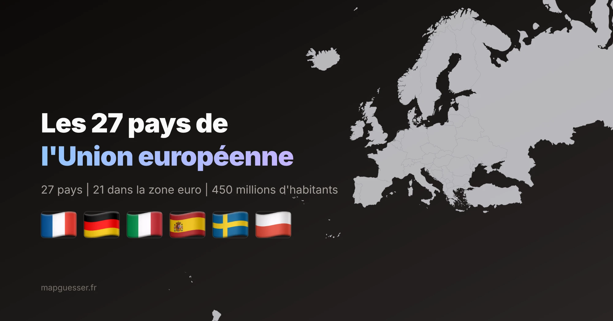
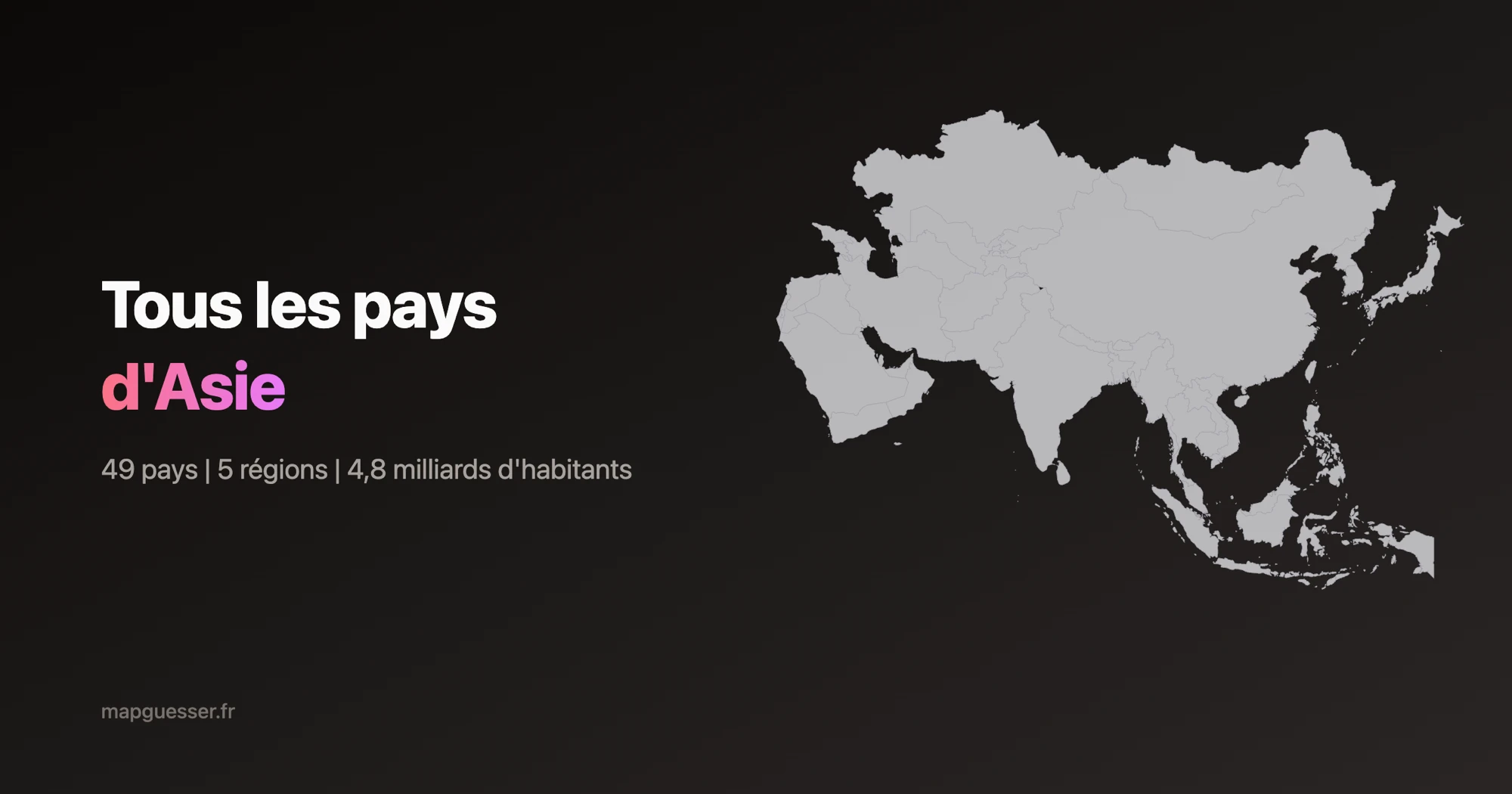
Africa has 54 sovereign countries recognized by the United Nations, making it the continent with the most countries in the world, ahead of Asia (49 countries).
Algeria is the largest country in Africa with an area of 2,381,741 km2, making it also the 10th largest country in the world.
Nigeria is the most populated country in Africa with over 229 million inhabitants, accounting for roughly 1 in 6 Africans. Ethiopia follows with 126 million, then Egypt with 107 million. Together, these three countries account for nearly a third of the continent's population.
The Seychelles, with only 452 km2 and 122,000 inhabitants, is the smallest African country by both area and population. It is an archipelago of 115 islands in the Indian Ocean, northeast of Madagascar.
The African Union (AU) has 55 member states, comprising all 54 UN-recognized sovereign African countries plus the Sahrawi Arab Democratic Republic (Western Sahara). Founded in 2002, the AU is headquartered in Addis Ababa, Ethiopia, and aims to promote unity, cooperation and development across the continent.
The best way is to practice with interactive quizzes like MapGuesser's Listing mode, which challenges you to name all the countries of a region on a map.